
Grayslake Neighbor Record Sources
A block lookup works best when each source has one job. The county parcel map defines adjacency. The property card gives a dated owner and mailing field. Village programs reveal civic geography, while voter data has strict access and use rules. None of these sources is a public household roster for Grayslake neighbors.
| Source | What it shows about a block | Access |
|---|---|---|
| Tax Parcel Viewer | Adjacent parcel shapes, PINs, roads, lots, subdivisions, and condo context | Free county map |
| Property Tax Information | Dated owner, mailing address, situs, lot, and assessment fields | Free county search |
| Recorded instruments | Deeds and other documents linked to a party, parcel, or legal description | Web index, historical books, and office terminals |
| Village partnership programs | Public civic programs and neighborhood project contacts, not member rosters | Village pages and direct contact |
| Voter files | Restricted registration and voting-history fields by lawful request | County or state process, not a public block search |
Owner and occupant are different roles. A tax-bill name may receive mail somewhere else, and one parcel can contain more than one unit. For a whole named road instead of the immediate block, use the Grayslake street directory workflow.
Map Grayslake Neighbors Precisely
The Lake County Tax Parcel Viewer supports a reproducible search. Its hint accepts a PIN, address, or place. The select tool offers rectangle, polyline, circle, polygon, and point shapes. A buffer can expand a selection from zero feet, and the spatial relationship is Intersects. Record the chosen shape, buffer, layers, and access date so another person can repeat the same neighbor lookup.
- Search the starting address and confirm its PIN in the Tax Parcels layer.
- Turn on roads, address labels, lots, subdivisions, condominiums, and public or private rights of way as needed.
- Select only parcels that touch the starting parcel for a strict next-door set. Use a stated buffer for a wider block study.
- Open each parcel popup and follow its assessment or tax link. Keep PIN, parcel type, document number, and condo flag.
- Compare the property location with the mailing field. Do not treat either as proof of current physical presence.
The county announced its new viewer on March 20, 2026, so screenshots and notes should carry a date. This timely change matters because map controls and result fields can shift.
Read Grayslake Parcel Layers
Visual gaps do not always mean empty land. The county service separates Tax Parcels, Lots, Subdivisions, Condominiums, Road Centerline, Address Labels, Private Road ROW, Public Road ROW, parcel dimensions, and historic tax-map images. A right of way, condo parent parcel, or lot line can change which polygons truly touch.
Inspect the Lake County tax parcel GIS layer used for a Grayslake neighbors search.
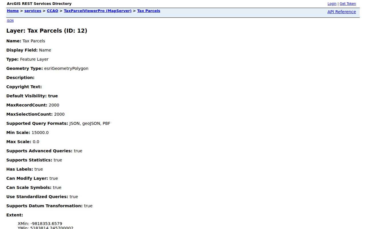
The layer's PIN, document, parcel-type, and condo fields make the geographic set auditable, but the map is still a reference rather than a survey.
- Parcel
- A mapped unit of land tied to a parcel identification number, or PIN.
- Right of way
- Land reserved for a road or other public or private access.
- Buffer
- A stated distance drawn around a selected feature.
- Intersects
- A map query that returns features touching or crossing the chosen shape.
Grayslake Subdivisions Versus Adjacency
Sharing a subdivision name does not make two parcels adjacent. The viewer can query a Subdivision or Condominium by name, while its shape tools answer the separate question of what touches a parcel. Preserve both labels. An informal local name should never replace the formal GIS or plat field.
Grayslake history makes that warning concrete. Frank Proctor's 1903 subdivision was on the north end of Westerfield. Oakland was developed by the DeCourdes brothers in 1913 around Hillside, Prairie View, First, and Second streets. Local usage also called Oakland “Klingerville.” Search both names in plats and newspapers, but do not assume the nickname is a current legal boundary.
Note: A named subdivision, a social neighborhood, and a set of touching parcels answer three different questions.
Check Grayslake Neighbor Parcels
After the map defines the set, open the Lake County property search. Use one main search mode at a time: PIN, Owner, or Address Number plus Street. The record can show a property location, mailing address, owner field, tax year, class, use, subdivision or lot, acres, square feet, and split or combine indicators.
A listed owner may not occupy the property. A mailing address may lie outside Grayslake. Condominiums and multi-unit sites need extra care because the parcel map and the set of people at one postal address do not always align. State the role exactly as shown.
Grayslake Neighborhood Program Links
The Village offers public ways to organize around place, but research did not locate a public HOA or association member directory. Partnership materials are best used to identify a program, public contact, or documented project. They are not permission to infer private membership.
Neighborhood Partnership
Village-led information and local improvement routes appear on the partnership programs page. Confirm the current contact and scope with the Village.
Sustainable Neighborhood
Public sustainability work can define a project area or civic activity, but it does not identify every person on a block.
Cul-de-sac Program
Program material can document a place-based project. Keep it separate from parcel ownership and private contact lists.
See the Village neighborhood partnership programs that add the civic layer to Grayslake neighbor research.
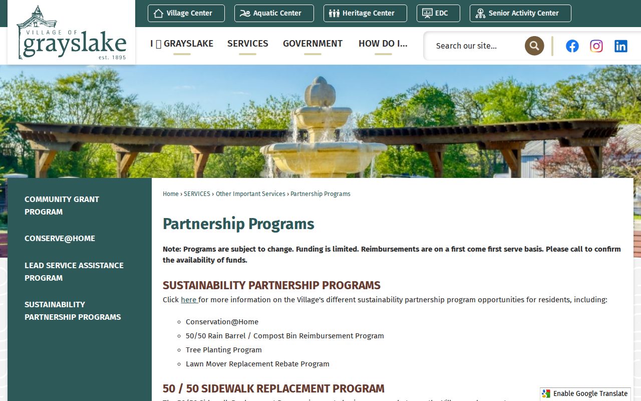
The Village page shows how residents can connect through public programs without turning a civic program into a resident roster.
Protect Grayslake Parcel Records
Lake County Recorder's free property alert can watch for a filing tied to a name, entity, or real property. It does not certify title, occupancy, or a neighbor's identity. The alert is useful for a property owner who wants notice of a later record, not for monitoring another household.
Review the Lake County Recorder property alert before choosing its filing or property options.
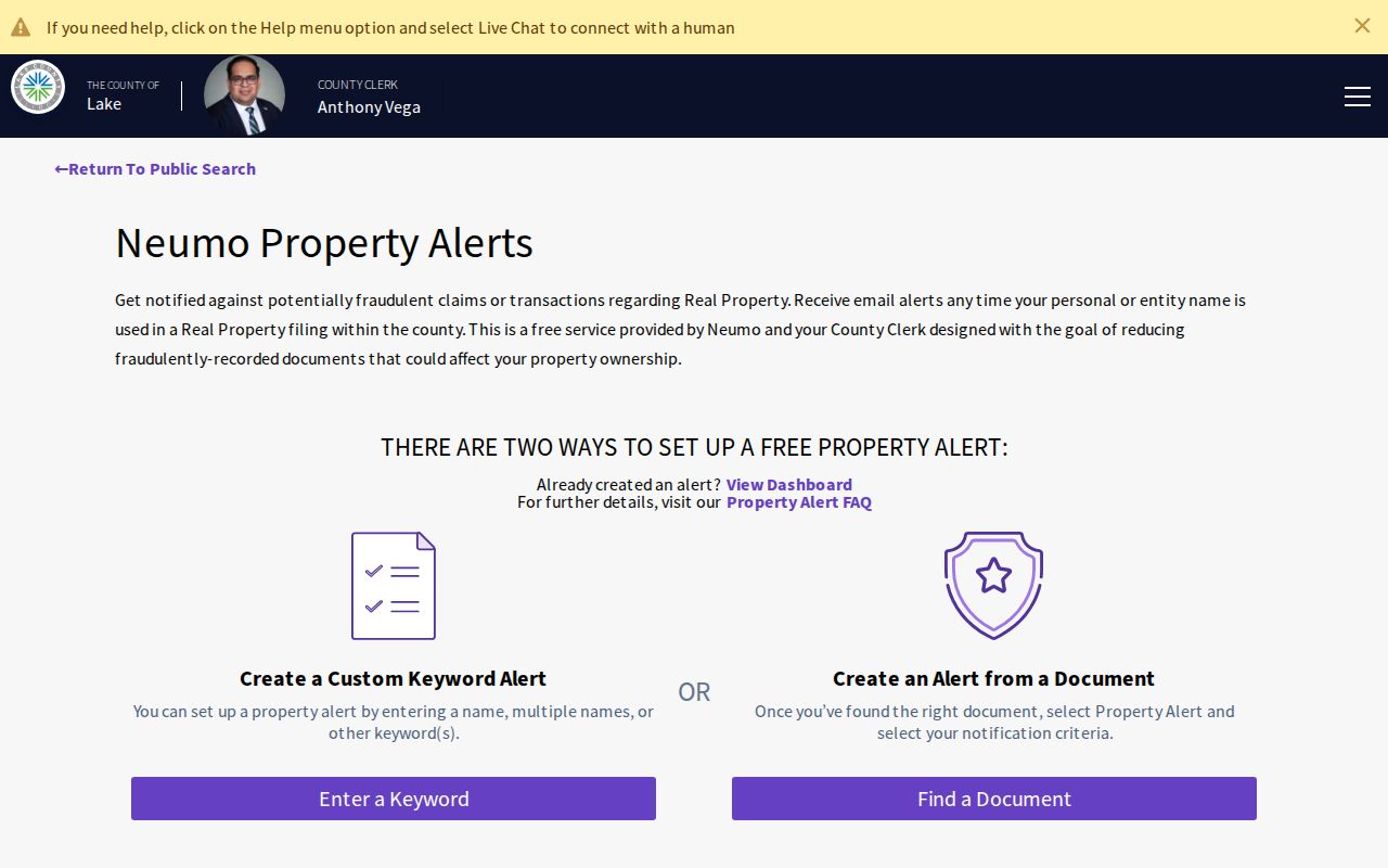
The captured screen marks the official alert route and reinforces that an alert is not a title search.
Grayslake Voter Block Limits
Lake County Voter Power helps an individual confirm registration, polling place, districts, sample ballot, and vote-by-mail information. It does not publish a block roster. Lake County permits inspection or purchase of specified voter-list and voting-history data only through its rules, eligible requester categories, formats, districts, fees, and lawful purposes. Illinois does not register voters by party.
A protected participant may also use Illinois's Address Confidentiality Program, which supplies a substitute address and mail forwarding for qualifying survivors. Never try to work around a protected address. If voter geography matters, describe a precinct or district source and its date rather than claiming that all names at nearby addresses are public online.
Official Grayslake Neighbor Records
Commercial neighbor tools combine data from many sources, may be stale, and often hide provenance behind a fee. Official Lake County and Village records are narrower, but each result identifies a custodian, field meaning, and date. For a block question, that narrower source is easier to check.
| Measure | Official record | Commercial category |
|---|---|---|
| Source | Named county, Village, or state custodian | Often combined from several feeds |
| Geography | PIN, parcel polygon, plat, precinct, or program area | May use an unstated radius |
| Meaning | Field has a defined record role | May blur owner, occupant, and contact |
| Correction | Confirm with the office that keeps the record | Process varies by provider |
Start with the map and the official roll. Use an archival or civic source only when its scope matches the question.
Grayslake Community Record Boundaries
Assumed business names can add public context when a nearby address is tied to a local business filing. Lake County records the owner and address fields, while qualifying filers may seek home-address confidentiality under Illinois law. A filing shows a business-record role, not a full list of Grayslake neighbors.
View the Lake County assumed business name route and its confidentiality information.
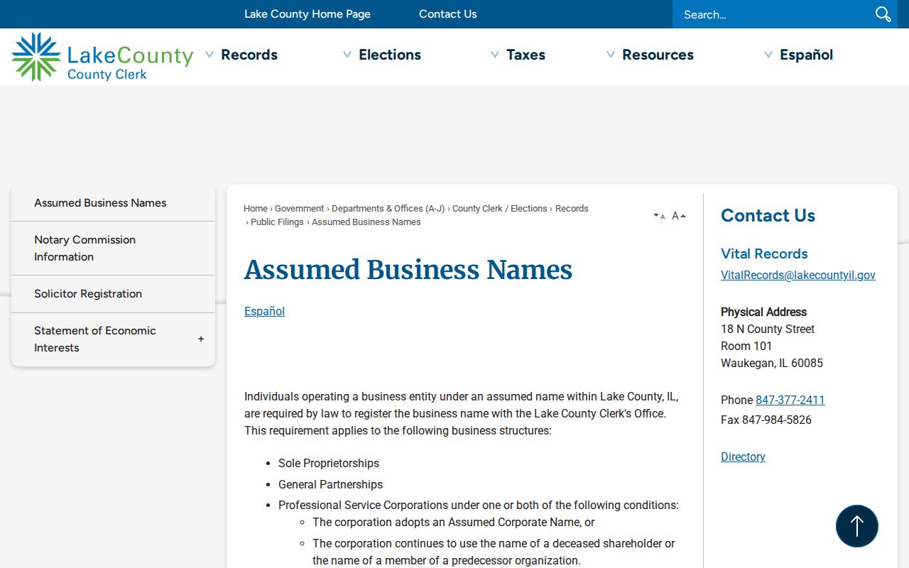
The page supplies a lawful public-filing path while making clear that some home-address details can be protected.
County inmate information is a separate current-custody source, not a resident list or a way to map a block. The Lake County inmate information page should be used only when current county custody is the actual question.
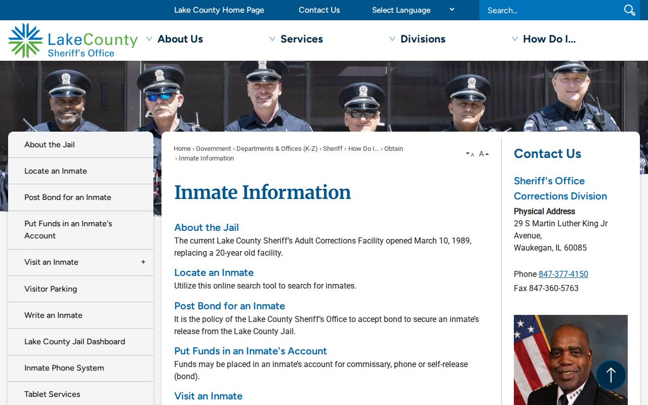
This source has a narrow legal scope and should never be treated as evidence about the people living near an address.
Privacy for Grayslake Neighbors
Public parcel records usually do not identify every person in a home. Utility, delivery, private association, and congregation lists are not open household directories. A GIS polygon shows spatial relation, not friendship or social connection. Save only what is needed for the stated personal or civic task, and verify the record with its custodian before relying on it.
If a defined Village permit, inspection, or public project record is needed, make a narrow Illinois Freedom of Information Act request by address, date, and record type. Do not ask for an unrestricted person file. The Village form supports inspection, copying, or certification and provides the official response and fee terms.
Lawful use. Use Grayslake neighbor records for civic awareness, reconnection, or personal safety. Never watch, intimidate, harass, or harm anyone.