
Grayslake ZIP Code Coverage
The verified incorporated Village and post-office pairing is Grayslake 60030. Research did not locate an official delivery-point table proving that every place called Grayslake uses only that ZIP code, nor a complete crosswalk for nearby incorporated and unincorporated addresses. The table therefore distinguishes verified delivery facts from routing references.
| ZIP | Area or Context | Post Office | Evidence Note |
|---|---|---|---|
| 60030 | Verified Grayslake postal and Village pairing | Grayslake Post Office | Official USPS location and city identity |
| 60030-9998 | Facility-specific ZIP+4 | 75 Commerce Drive | Identifies the post office, not all delivery points |
| 60002 | Adjacent routing reference | Not established here as Grayslake coverage | Postal Bulletin routing context only |
| 60046 | Adjacent routing reference | Not established here as Grayslake coverage | Postal Bulletin routing context only |
This ZIP code directory does not turn container-routing references into community boundaries. Verify each street address through USPS and preserve the exact output. A complete adjacent-ZIP delivery table was not found, so uncertainty is part of the record.
Grayslake 60030 Post Office
The official USPS location is 75 Commerce Drive, Grayslake, IL 60030-9998, with phone 847-223-2787. The facility page publishes live retail and service details, which can change. Check that page before planning a visit. Its ZIP+4 belongs to the post-office facility and should never be copied onto an unrelated Grayslake address.
The USPS Grayslake Post Office listing shown here anchors the verified postal fact.
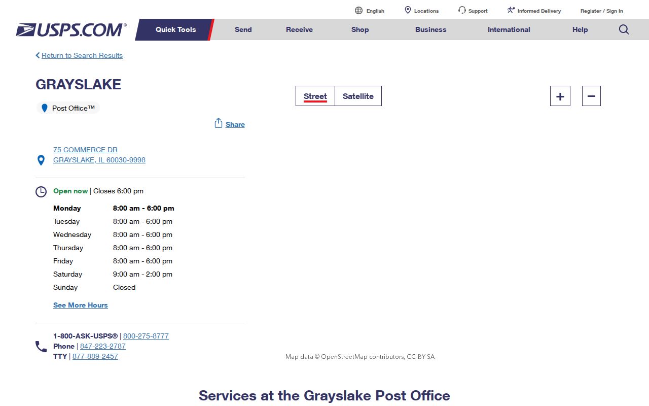
The screenshot ties the station name, address, and contact to USPS. It does not establish who receives mail elsewhere in ZIP code 60030.
Search Grayslake ZIP Code Fields
USPS offers three distinct searches. The street-address route normalizes one delivery point. The city/state route lists ZIP associations for a city name. The cities-by-ZIP route returns preferred or alternate delivery names for a code. Save which route produced the result because the outputs are not interchangeable.
| USPS Route | Fields | Useful Output |
|---|---|---|
| Street address | Company optional; Street required; unit, City, State, ZIP | Normalized delivery address |
| City and state | City required; State required | ZIPs associated with that delivery city |
| Cities by ZIP | ZIP required | Preferred and alternate city labels |
The USPS ZIP Code Lookup shown here keeps those search modes separate.
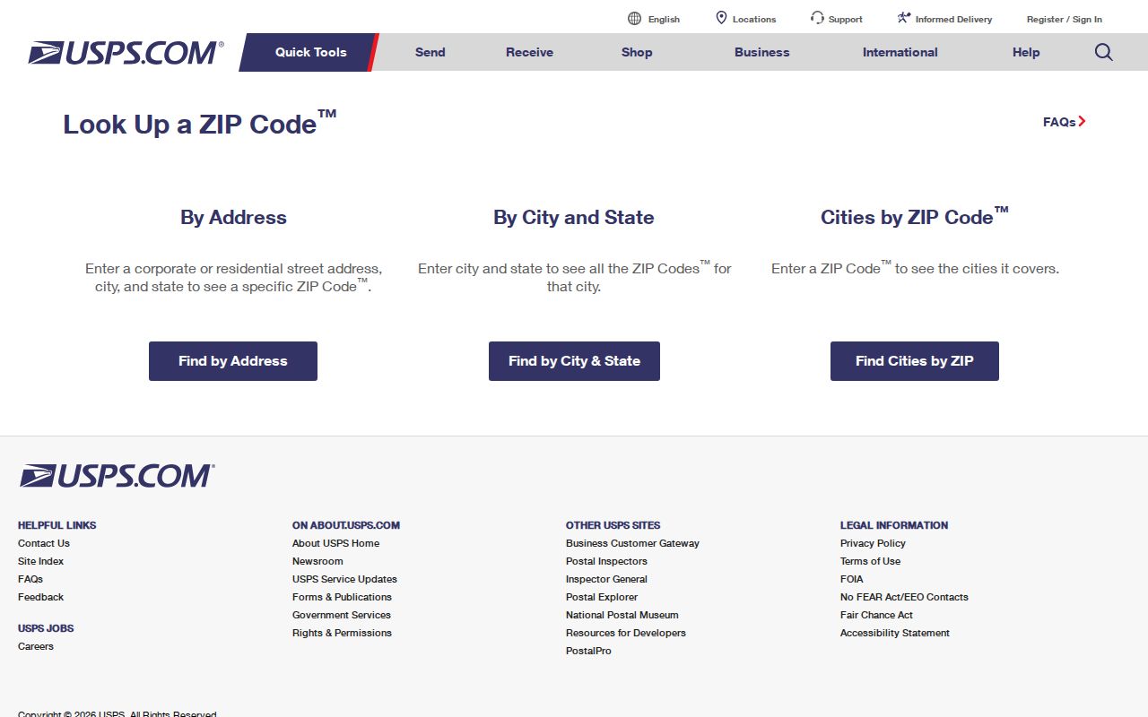
USPS also warns that a result does not confirm a person or company at an address. It confirms delivery formatting and postal geography.
Find Grayslake Records by ZIP
A ZIP code can narrow a large record set, but it is not proof of identity. The Lake County Property Tax Information portal includes City Name and ZIP fields along with owner, PIN, and address modes. Its city and ZIP values are tax-system attributes. The Tax Parcel Viewer can search an address or place and link the parcel popup to tax and assessment records.
- Enter the full street address in USPS and save the returned delivery city and ZIP.
- Search the county parcel portal by address, then record the PIN, City Name, ZIP, and tax year.
- Open the county address-point or parcel map and compare its ZIP layer with the parcel location.
- If labels differ, preserve both. Ask USPS, Lake County GIS, or the Village to resolve the proper field.
Once a ZIP code directory search narrows the area, use the Grayslake street directory for the address-level record chain. The ZIP page should not claim that everyone within a polygon is a resident.
Grayslake ZIP Map Layers
Lake County GIS maintains address geography and assigns addresses in unincorporated areas and in municipalities that request its service. The WAB Address MapServer exposes Address Points, GeoGrid, ZIP Codes, and Alt Allowed Address layers. Those are map features, not people. A plotted point can aid delivery and emergency-service work without naming an occupant.
The Lake County communities page shown here places Grayslake in the county's municipal framework.
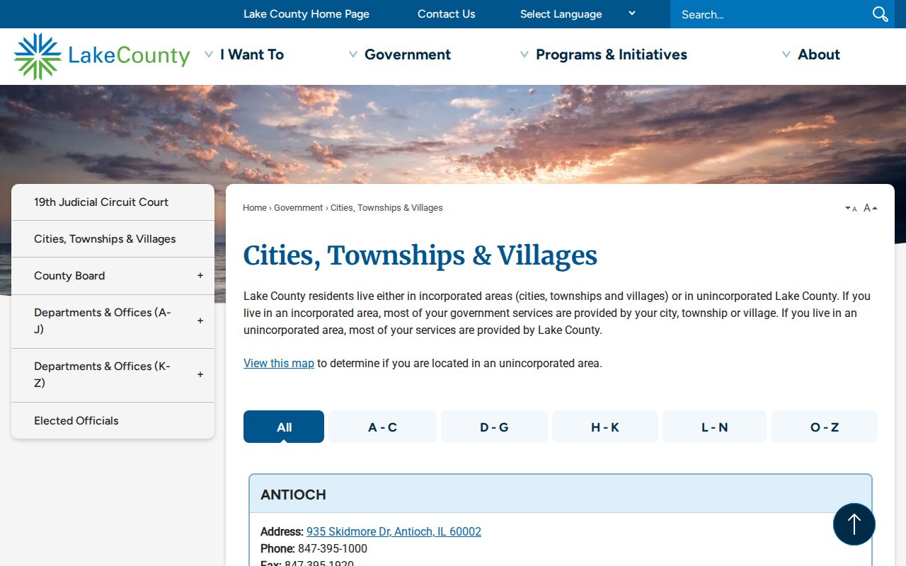
The county listing identifies Grayslake as a Village and Waukegan as the county-seat setting for major record offices. Postal service, county government, and Village government remain separate layers.
Grayslake ZIP and Village Limits
A ZIP is built for mail delivery, not as a municipal boundary polygon. It can cross townships or municipalities. A Village boundary can also include an address whose preferred mailing city differs. The assessor's City Name, USPS city label, county ZIP polygon, and incorporated boundary should therefore be displayed side by side, never collapsed into one “correct” field.
- ZIP code
- A postal delivery geography used to sort and route mail.
- ZIP+4
- An added four digits that narrow delivery to a segment, building, or facility.
- PO-box ZIP
- A code or range used for post-office boxes rather than normal street delivery.
- Unique ZIP
- A code assigned to one high-volume organization or facility.
- Carrier route
- A postal delivery path, not a resident or municipal district.
Keep both labels. A USPS city and county map label can differ for one Grayslake-area address without proving either source is faulty.
Grayslake Adjacent ZIP Caveat
Postal Bulletin tables mention 60002 and 60046 in routing relationships with Grayslake 60030. Those operational tables tell mail handlers how containers and labels move. They do not prove that a given delivery point is inside Grayslake, that a household uses an adjacent ZIP, or that a municipal line follows the routing rule.
This is the key myth for the Grayslake ZIP code directory: nearby codes in a routing table do not expand Village limits. Use the specific address lookup for a live delivery question. Use the county map for geography. Use the Village or county community record for governmental jurisdiction.
Note: No authoritative full municipal-to-ZIP crosswalk for every Grayslake-area delivery point was captured in the research.
Before Grayslake ZIP Codes
Modern ZIP codes do not belong in early Grayslake records. Local history places the Wisconsin Central station, village plat, and a fourth-class post office in 1886. A person could appear under Gray's Lake or Grays Lake, a farm route, lot, road, hotel, depot, or business before standardized address and ZIP fields existed.
Regional house-history research notes that house numbers began in the 1920s and rural homes often lacked them. Center Avenue later became Lake Street. Search both names and date the result. A current 60030 label should not be projected backward onto an 1880s deed, a 1905 newspaper notice, or an old map.
The contrast is practical. Modern USPS tools normalize delivery. Historic newspapers, plats, deeds, and the four-sheet 1934 Grays Lake Sanborn set preserve the labels used at their own dates.
Read Grayslake ZIP Results
Each ZIP-related source needs a label. A USPS result means delivery normalization or city association. A county address point means mapped geography. A parcel hit means a PIN and tax-card association. A voter tool serves an eligible voter's own election logistics. None provides a public list of all people within ZIP code 60030.
A useful Grayslake ZIP code directory result records the exact input, source URL, access date, displayed field, and limitation. If an address fails in one system, check spelling, unit, and delivery-city form before widening the search. When two official fields disagree, report the mismatch rather than guessing.
That habit also guards against stale claims. Parcel and postal interfaces change, land is annexed or divided, and address points are updated after recorded parcel changes. Verify live data with the custodian before relying on it.